
TowerScope · free · public data
See Houston air traffic in 3D, live or replayed.
Explore Houston traffic in 3D with weather, airspace and recorded replay. Open Controller or discover more than 900 US airports.
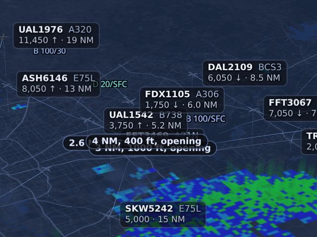
Your workstation
Every view shows the same planes. Gaps in coverage are marked.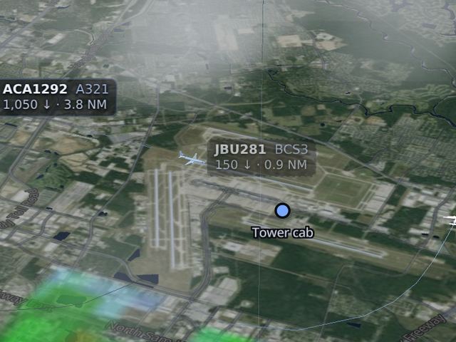
Live 3D
Public ADS-B traffic in Map, Surface, Tower, Cockpit and Scope views. Coverage varies by receiver and aircraft.
Tabletop
Explore routes and airspace in 3D, with altitude slices and close-call alerts we calculate ourselves.
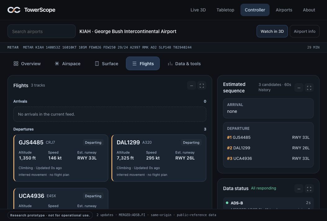
Controller
A controller research view combining public traffic, flight cards and weather. Surface coverage may be limited.
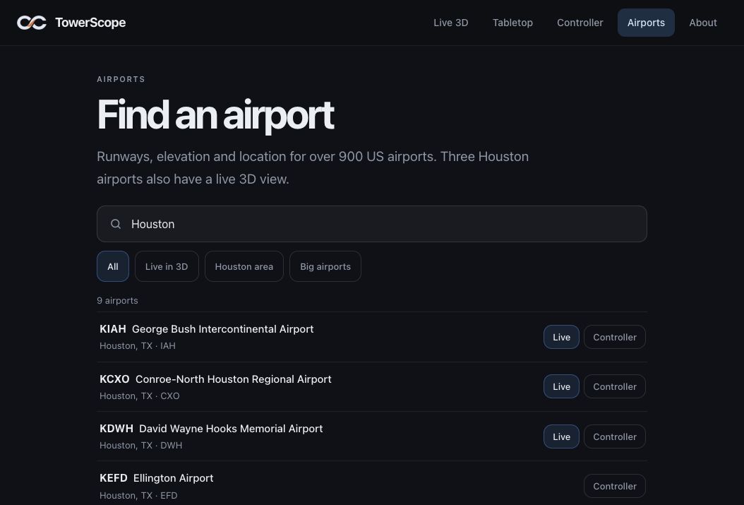
Airports
Runways, location and quick links for 900+ US airports. Pick one and the other tools follow.
Missed something? Replay it.
Live 3D and Tabletop also run on recorded traffic from the last three days. Scrub the timeline and change the speed.
Good to know
More in AboutPublic data only
Plane positions come from volunteers who pick up the signals planes broadcast. Maps come from OpenStreetMap and weather from US government sources.
We show what we guessed
Dots are where planes said they were. The lines between them, the bank angle and the projected path are our fill-in.
Not for operational use
A research prototype using public data. Not for navigation, separation or operational decisions.